Details
Quality maps to assist in adventuring in some of our favorite spots in our neighbor-state of Colorado.
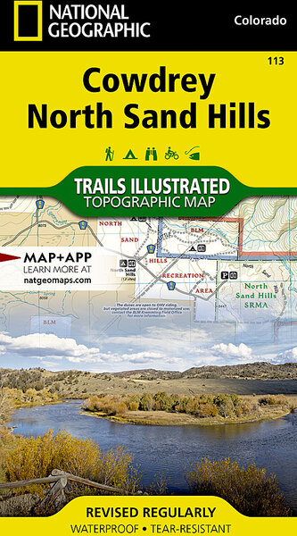
With more than 250 titles available for America’s favorite outdoor destinations, Trails Illustrated (TI) maps are the most trusted and popular recreation maps available. Continually setting the standard for accuracy, each map is crafted in conjunction with local land managers and undergoes rigorous review and enhancement before being printed on waterproof, tear-resistant material. Each Trails Illustrated map contains detailed topographic information, clearly marked trails, recreational points of interest, and navigational aids.
Part Numbers
| Option | Store SKU |
|---|---|
| 113:: Cowdrey, North Sand Hills | 210000016473 |
| 114:: Walden, Gould | 210000016474 |
| 115:: Rand, Stillwater Pass | 210000016475 |
| 117:: Clark, Buffalo Pass | 210000016477 |
| 121:: Eagle, Avon | 210000016481 |
| 126:: Holy Cross, Ruedi Reservoir | 210000016486 |
| 133:: Kebler Pass, Paonia Reservoir | 210000016493 |
| 136:: Grand Mesa | 210000016496 |
| 146:: Uncompahgre Plateau South | 210000016506 |
| 147:: Uncompahgre Plateau North | 210000016507 |
| 150:: Flat Tops North | 210000016511 |
| 151:: Flat Tops South | 210000016512 |
| 208:: Colorado National Monument | 210000016520 |


